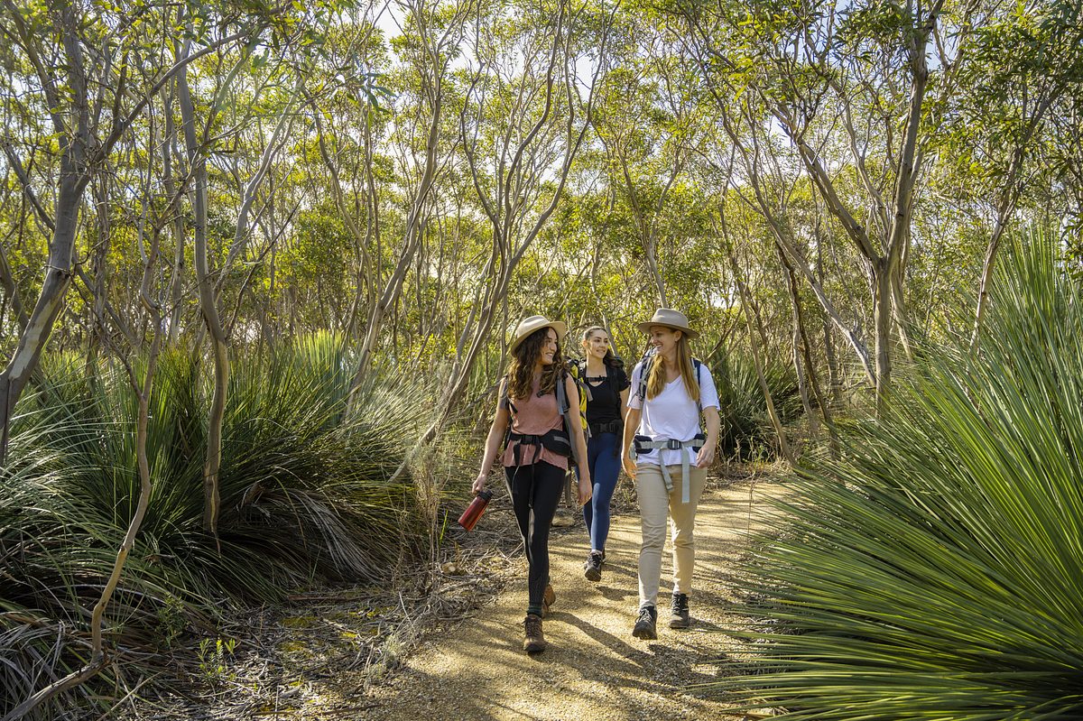
Bushwalking in parks
South Australia’s national parks are a treasure trove of trails, with a path for every explorer.
Where can I go for a bushwalk?
Most national parks have trails suited to all fitness level. Keen on specific bushwalking adventures? Just head to our ‘Find a Park’ tool and narrow your search to ‘Bushwalking’.
Get inspired: Check out the below Good Living blogs to plan your next adventure.
- 5 alternative walks to Mount Lofty
- 17 dog-friendly walks in Adelaide parks
- 4 parks in South Australia for overnight hiking trips
Where can I download trail maps?
Many of our parks offer downloadable PDF maps so you can choose a trail that’s right for you. Head over to your chosen park’s page and tap on the ‘Maps’ tab.
Got a smartphone or tablet? Download the free Avenza PDF Map app to keep interactive national park maps right at your fingertips!
Walk classifications
The Australian Walking Track Grading System is a national standard to help you work out if a walk will suit your level of fitness and experience. All national parks have been graded using this system, making sure there’s a fit for every footstep.
Australian walking track grading system | |
|---|---|
| 1 No bushwalking experience required. Flat even surface with no steps or steep sections. Suitable for wheelchair users who have someone to assist them. Walks no greater than 5 km. | |
| 2 No bushwalking experience required. The track is a hardened or compacted surface and may have a gentle hill section or sections and occasional steps. Walks no greater than 10 km. | |
| 3 Suitable for most ages and fitness levels. Tracks may have short steep hill sections, a rough surface and many steps. Walks up to 20 km. | |
| 4 Bushwalking experience recommended. Tracks may be long, rough and very steep. Directional signage may be limited. | |
| 5 Recommended for very experienced bushwalkers with specialised skills, including navigation and emergency first aid. Tracks are likely to be very rough, very steep and unmarked. Walks may be more than 20 km. | |

The Heysen Trail
The Heysen Trail is one of the world’s great walking trails and claims the title of Australia’s longest dedicated walking trail.
Spanning 1,200 km, the trail kicks off at Cape Jervis, winding along the sandy shores and majestic sea cliffs of the south coast. It then rolls through the Fleurieu Peninsula’s countryside and the elevations of Mt Lofty Ranges. And the grand finale? The raw allure of the Flinders Ranges, leading to the stunning Parachilna Gorge.
Planning to camp under the stars? Remember most spots within national parks need to be booked online before you arrive.
Looking for more info about maps, camping and accommodation? Head over to the Heysen Trail website.
School or large groups
Heading out with a school or large group? Always notify the specific park ahead of your visit by completing a School Booking Form.
Visiting a remote area?
Venturing into remote areas or undertaking challenging activities? Keep it safe by informing a trustworthy contact about where you’re off to and your expected return.