
From easy strolls to epic hikes: Decoding South Australia’s walking track grades
With Grades 1 through to 5, it takes into account factors including how long the walk is, how steep, the kind of surface, hazards and signposting.
The South Australian National Parks and Wildlife Service adopted the Australian Walking Track Grading System in 2022 to provide a consistent, reliable way to understand walk difficulty.
It’s a simple key to help you choose walks that suit your mood, fitness and sense of adventure.
Be sure to always check the walking grade classification before you head out, as grades, conditions and access can change.
- Go to https://www.parks.sa.gov.au/find-a-park
- Search for the park you want to walk or hike in.
- Scroll down and click the “see and do” tab and select “bushwalking” for more information.
Learn more and find some great walks of all grades in South Australian parks, below.
Grade 1
No bushwalking experience required. Flat, even surface with no steps or steep sections. Suitable for wheelchair users who have someone to assist them. Walks no greater than 5 km.
Ideal for easygoing days out, Grade 1 walks are flat, well-formed and easy to follow.
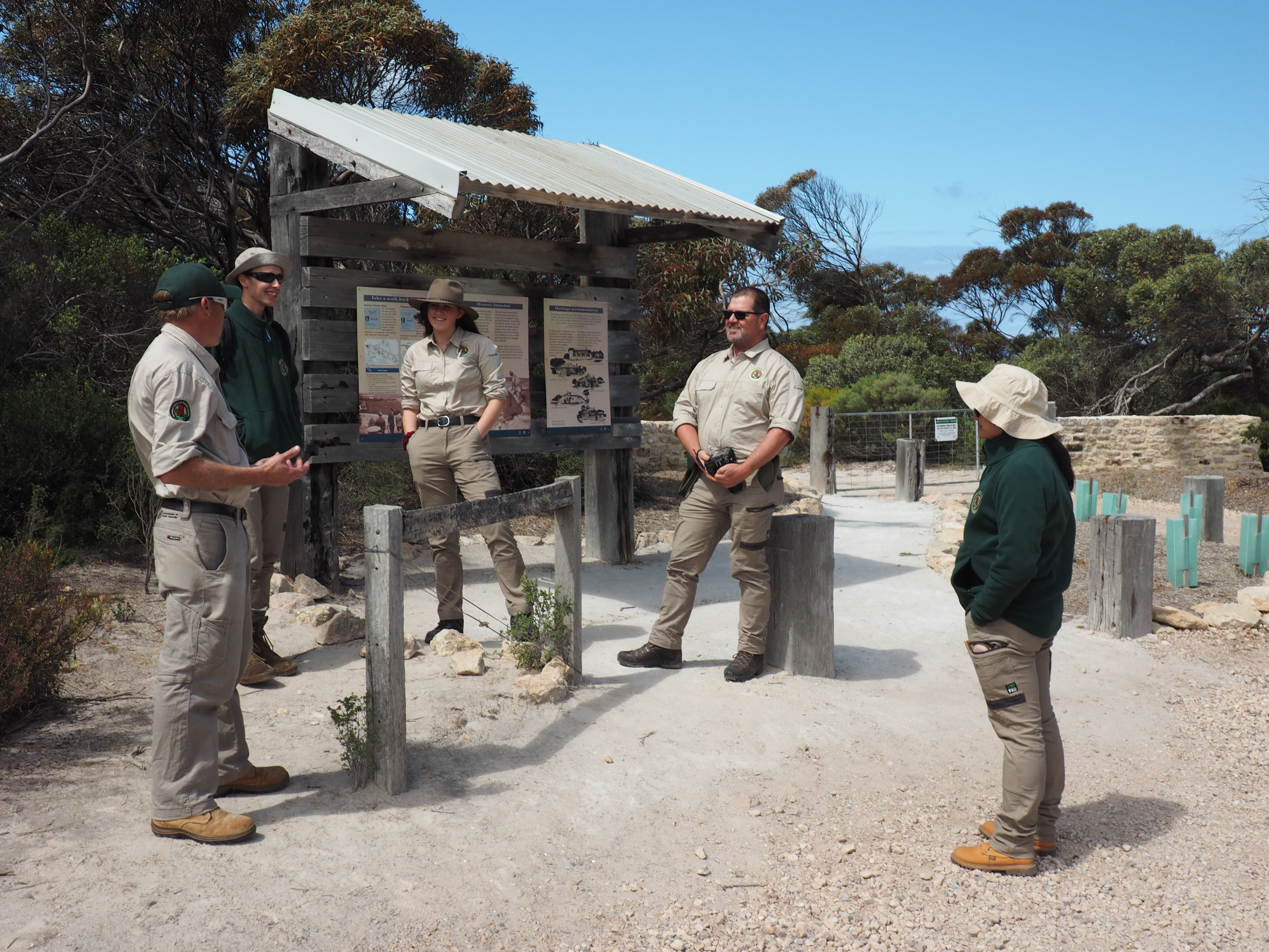
A great example can be found in Dhilba Guuranda – Innes National Park on the Yorke Peninsula, where the 2 km Inneston Historic Walk follows a flat dirt track through the relics of a once-busy gypsum mining town.
You can stay on-site too, with Gatehouse Lodge sleeping up to six with a disabled access bathroom.
Across Investigator Strait on Kangaroo Island, the Platypus Waterholes Walk in Flinders Chase National Park links five viewing platforms along a gentle circuit.
Pause at each for a chance to spot a platypus – dawn and dusk are your best bet.
The full 4.5km trail starts at Rocky River, following a flat wheelchair-friendly boardwalk after a short downhill section.
Bring lots of water and sun protection as canopy cover is still regenerating after the 2020 bushfire. For a shorter loop, start from the trailhead off Shackle Road.
Grade 2
No bushwalking experience required. The track is a hardened or compacted surface and may have a gentle hill section or sections and occasional steps. Walks no greater than 10 km.
Suited to walkers with a basic level of fitness, Grade 2 tracks introduce slight undulations and natural surfaces, but remain well-defined and easy to follow for families.
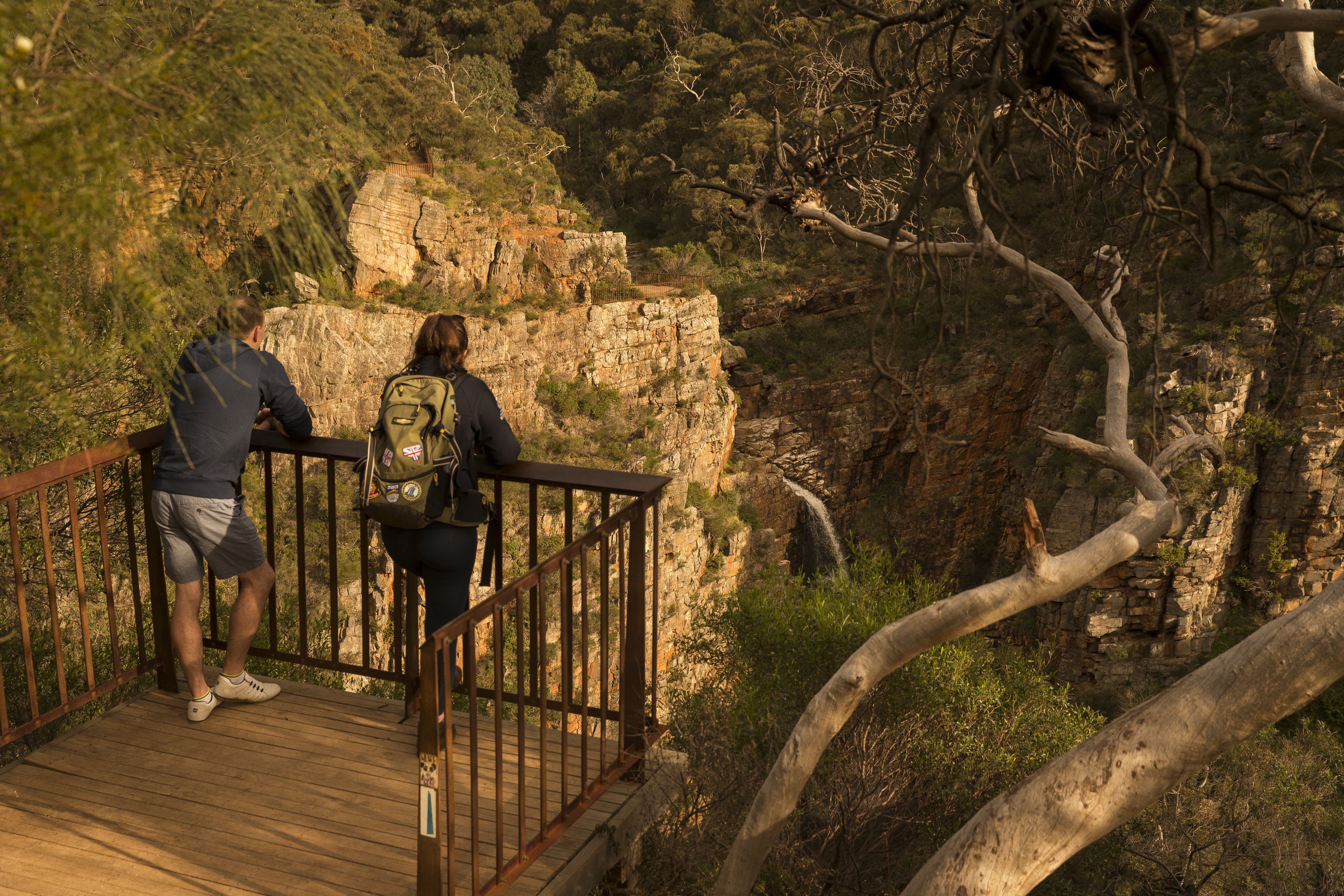
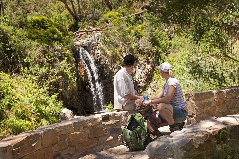
One of South Australia’s most iconic trails lies just 20 minutes from Adelaide city in Morialta Conservation Park, where First Falls Walk follows an easy 3km out-and-back path to a stunning seasonal waterfall framed by sheer quartzite cliffs.
Once you’ve finished the walk, check out the Mukanthi Nature Play Space, where a tower, climbing boulders and a hidden tunnel keep kids entertained.
With parking, accessible toilets and free BBQs nearby, it’s an easy place to linger.
Further afield, the Kai Kai Nature Trail in Murray River National Park brings an educational edge to Grade 2 walking , tracing a 2.5km loop through river red gum forest on the Murray floodplain.
Along the way, interpretive stops unpack facts about native plants, wildlife and how the river is shaped through wet and dry seasons.
Grade 3
Suitable for most ages and fitness levels. Tracks may have short, steep hill sections, a rough surface and many steps. Walks up to 20 km.
Best for walkers with a moderate level of fitness, Grade 3 tracks introduce longer distances, uneven surfaces and some steeper sections, but remain well-marked and manageable with a bit of preparation.
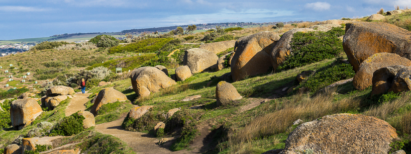
Off Fleurieu Peninsula, the 2.9 km Kaiki Walk on Granite Island Recreation Park circumnavigates the island’s rugged granite coastline.
Expect some uneven surfaces and short climbs as waves crash below, with regular viewpoints to spot seabirds – and, in winter, southern right whales offshore.
Reward yourself with a hot drink at the island café before crossing the causeway back to the mainland.
Three hours north of Adelaide, the Alligator Gorge Ring Route Hike in Mount Remarkable National Park offers an immersive Grade 3 experience through the Southern Flinders Ranges.
Setting off from Mambray Creek Campground (hot showers included), the 8.5km circuit weaves through dramatic gorges and rocky creek beds, bringing a satisfying step up in difficulty.
Grade 4
Bushwalking experience recommended. Tracks may be long, rough and very steep. Directional signage may be limited.
You certainly won’t get lost on the Waterfall Gully to Mount Lofty Hike in Cleland National Park.
The path is clear and well constructed, and immensely popular especially with people who hike or run it regularly for fitness.
Don’t be put off if you’re not out to set a personal best. It’s 7.8km return and there are plenty of rest spots, lovely shady bush scenery and a superb view – and café – once you reach the top.
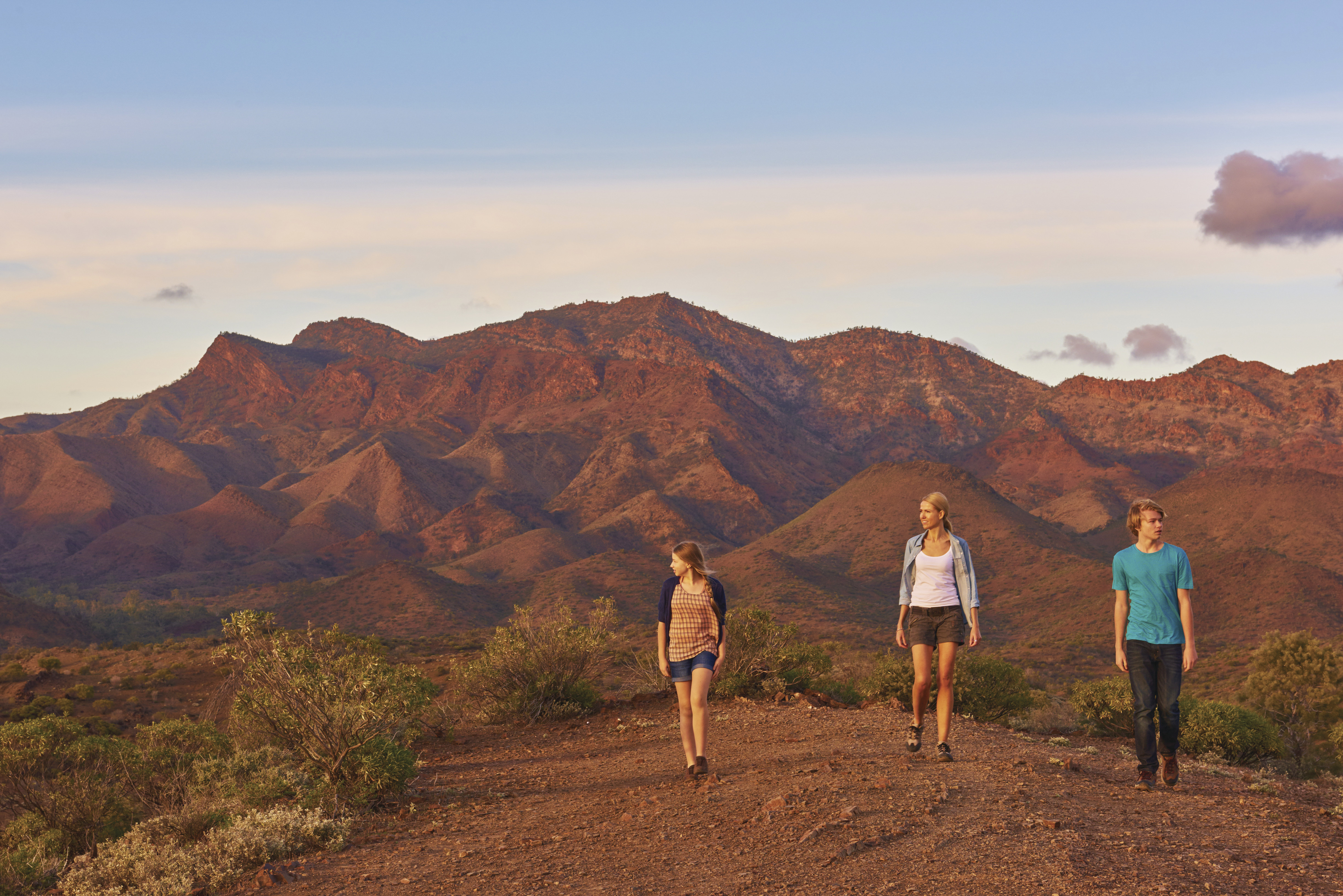
The Tanderra Saddle Hike in Ikara-Flinders Ranges National Park is on many a bushwalker’s bucket list. The trail climbs towards St Mary Peak, the highest point in the Flinders Ranges at 1171m above sea level. The peak has cultural importance to the First Nations Adnyamathanha people of the Flinders Ranges, and they prefer that visitors do not climb to its summit.
Tanderra Saddle is a challenging 12km return hike and affords spectacular views of Wilpena Pound.
Grade 5
Recommended for very experienced bushwalkers with specialised skills, including navigation and emergency first aid. Tracks are likely to be very rough, very steep and unmarked. Walks may be more than 20km.
The Wild South Coast Way is a 74km section of the Heysen Trail, traversing the southernmost coast of the Fleurieu Peninsula between Cape Jervis and Victor Harbor.
With campsites along the way, keen hikers can tackle an incredible five-day adventure immersed in nature, beginning less than two hours from Adelaide.
Shorter sections can also be accessed for day hikes, with the trail crossing through Deep Creek National Park and Newland Head Conservation Park.
Waterfall Hike is the most challenging trail in Belair National Park, just 25 minutes from the centre of Adelaide.
To see the waterfalls flowing it’s best to visit after winter rains, but rocks and slopes can become slippery. Spring is also a beautiful time to walk and spot wildflowers including orchids.
The 6.5km circuit trail starts at the Pines area and takes you through Echo Tunnel, which crosses under the Adelaide to Melbourne railway line, to the picturesque rock escarpments of the lower and upper waterfalls.
Some lookouts and cliff edges are not fenced – this is one for the sure-of-foot, and curious kids need to be well supervised.
More reading about walks and hikes in South Australia:
10 pram-friendly walks in Adelaide’s national parks
Step into bushwalking this autumn
2 of the best long walks in South Australia
7 family-friendly walks to enjoy in Ikara-Flinders Ranges
14 other ways to walk to Adelaide’s Mount Lofty Summit
Stay in the know: Sign up to get updates from National Parks and Wildlife Service South Australia straight to your inbox!