
Insider pics: latest photos from Kati Thanda-Lake Eyre National Park
Remember how Lake Eyre/Kati-Thanda looked back in July? These pics show how a few months can make a big difference.
One of the most-asked questions the National Parks and Wildlife Service South Australia receives is about conditions at Kati-Thanda-Lake Eyre in the state’s far north.
Australia’s largest salt lake is an iconic site that sits dry most of the time, so any water in the area is a big event that attracts tourists from around Australia and the world.
Flinders Ranges and Outback National Parks and Wildlife Manager Tony Magor recently flew over the area and shared these photos and insights as an update to his July adventures.
‘The last flight that we undertook over Lake Eyre was two months ago, so we flew over now in September and what a difference that two months has made,’ Tony said.
‘The inflows stopped some time ago, but the lake still has a lot to offer for those visitors still travelling to the region.’
Located about 750 kilometres north of Adelaide, the north lake itself measures a whopping 114 km long by 77 km wide, and is the lowest point in Australia.
The best way to see the lake is from the air, and scenic flights are available from Maree, William Creek and Wilpena Pound.
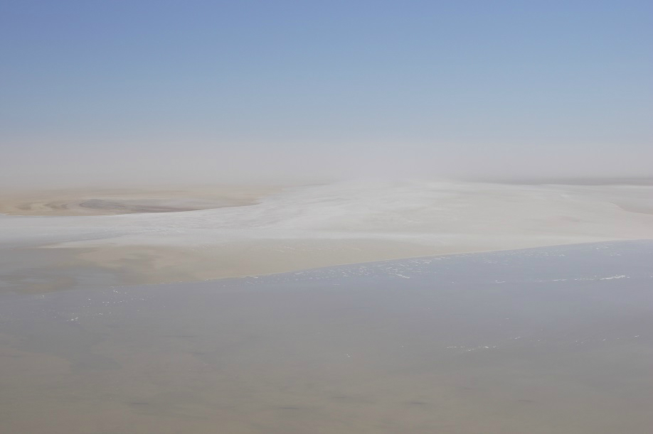
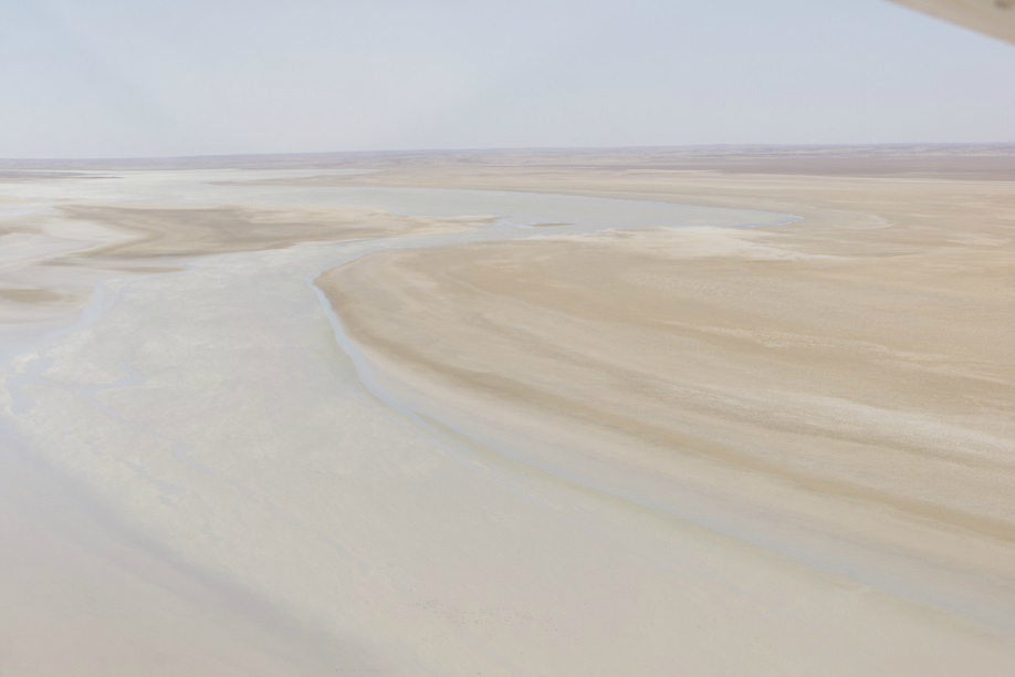
Tony’s flight revealed that the north lake surface covered by water is now down from about 55 per cent two months ago to about 15 per cent.
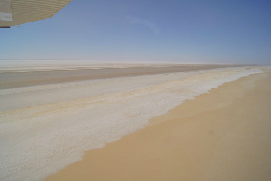
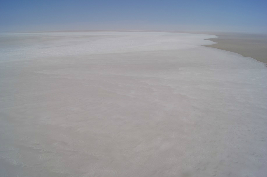
The majority of the Warburton Groove and the north lake is dry, which led to a bit of raised dust during the flight.
Lake Eyre South has been dry all year and was covered in a layer of raised dust as Tony flew up to the north lake.
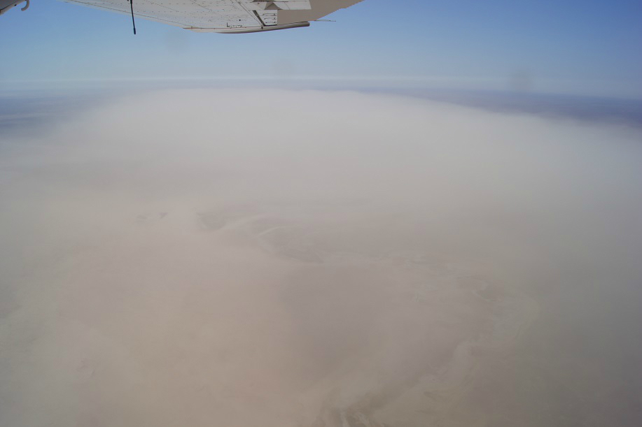
Dusty Lake Eyre South
‘People still visiting the region who have the time to fly over the whole lake will have a great opportunity to see two contrasts of the lake concurrently – the south west section with a lot of water, and the rest of the lake dry and white,’ Tony said.
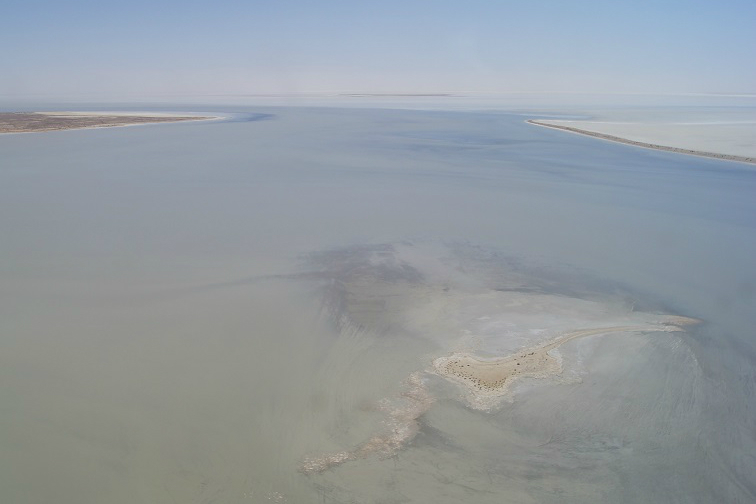
‘The water is still impressive as it is all congregated in Belt Bay, Jackboot Bay, around and just north of Dalhunty Island. Birds were seen on Silcrete and Dalhunty Islands, but not in big numbers.
‘The water around Dalhunty Island is very shallow and will evaporate quickly. Water in Jackboot Bay will still persist for some time and a quite full Belt Bay is likely to have water in it until at least the end of the year.
‘There is a very small ‘tongue’ of water in the top of the Warburton Groove on the lake and it is here and at the lower section of the Warburton Creek that we saw large concentrations of ducks, as well as a few flocks of pelicans and cormorants.’
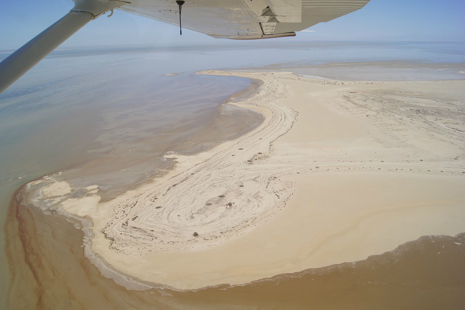
Looking west along Dalhunty Island, Lake Eyre North.
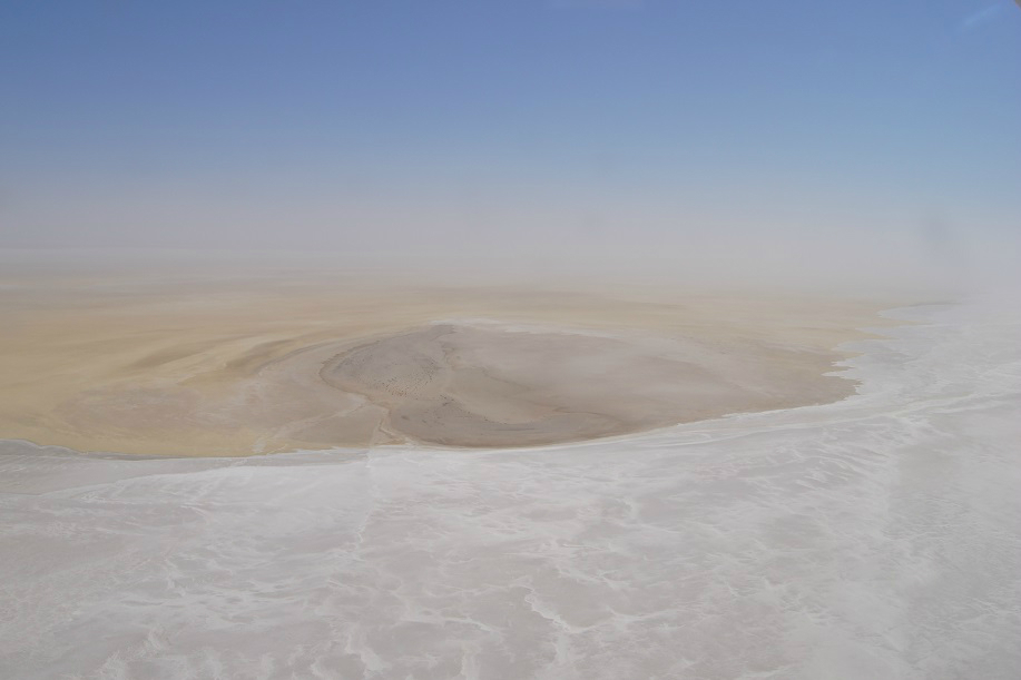
Looking north up dry Warburton Groove and Hughes Island, Lake Eyre North.
Kati-Thanda-Lake Eyre’s 1.2 million-square-kilometre catchment area is one of the largest interior drainage basins in the world and covers a sixth of the Australian continent.
The area is comprised of two lakes – the much larger northern lake and the smaller southern lake. The two lakes are connected to each other through a narrow channel known as the Goyder Channel.
The harsh Australian desert environment means the lake sits dry most of the time. On average every eight years or so flood waters from inland Queensland flow down river systems such as the Diamantina River, Cooper Creek and Warburton Creek and enter into Lake Eyre North. However some level of flooding has occurred every year since 2009.
Visit theNational Parks and Wildlife Service South Australiawebsite to plan your visit. You might also like to visit thesedesert hotspotson the way.
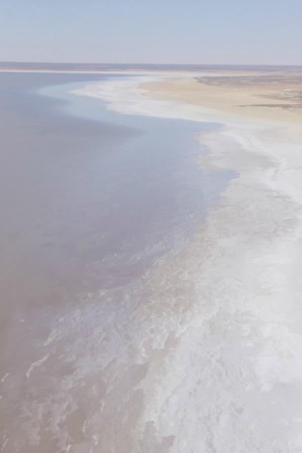
(Main image:Silcrete Island, Lake Eyre North.All images captured on 17 September 2019)